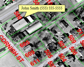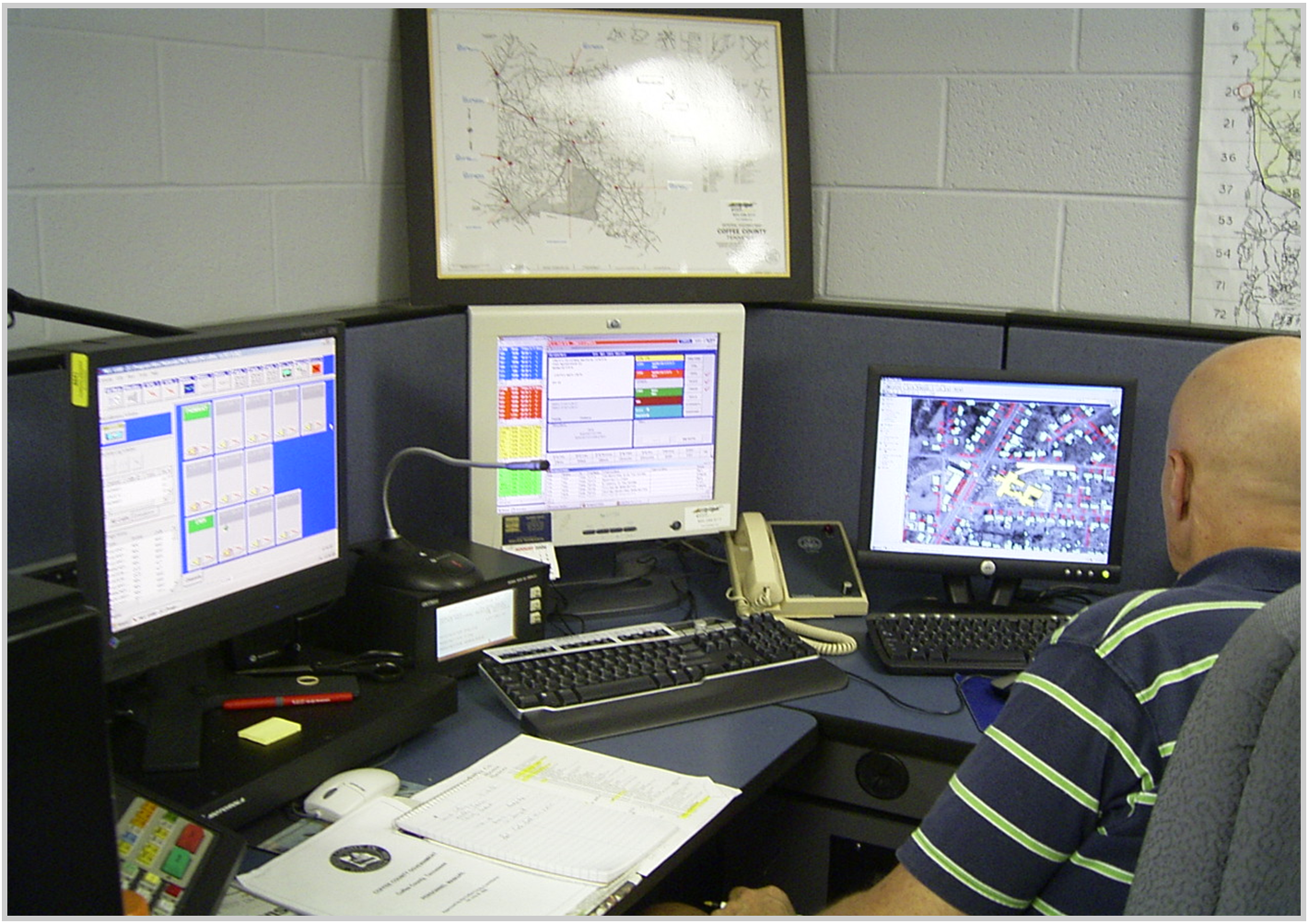
Spatial Net provides a turnkey operation offering various geography based services. One of those valuable services is the Emergency 9-1-1 (E911) system. The E911 system allows emergency management professionals to quickly and precisely determine the exact location of a critical situation.
Because fifty percent of calls made to 9-1-1 centers are initiated from cellular phones, SNI provides an innovative system that integrates with Phase II technology that, within seconds, can identify the precise locaiton of a mobile caller. This system allows the emergency dispatcher to contact appropriate response teams in a timely manner, without having to rely on outside entity information and resources in dire situations.
Emergency 911
Our system operates by grabbing latitude and longitude information from the caller's phone and projecting the cooridnates onto an extremeley accurate and interactive map. Whether the call is made from inside a building, in the middle of a lake, or deep in the woods, our system pinpoints the caller's actual location, within inches.