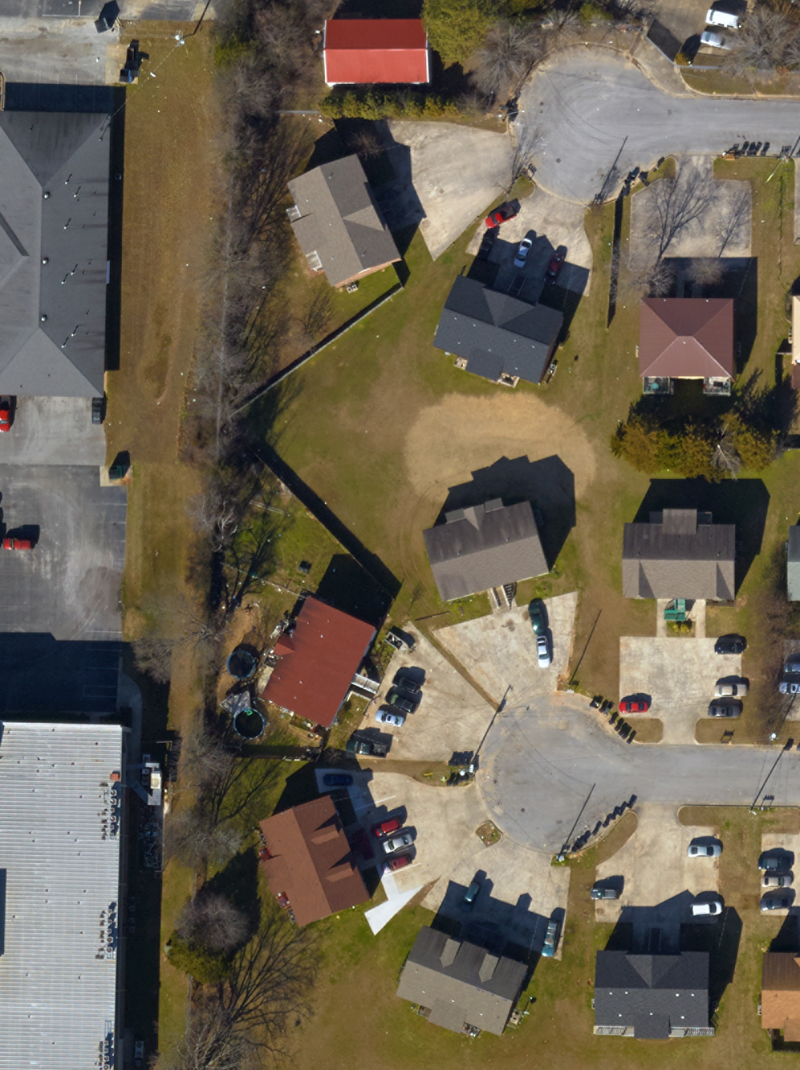
An accurate base map is crucial for the development of any GIS. Spatial Net uses a digital ortho-photogrametric base map which meets ASPRS Postional Accuracy Mapping Standards for 3-inch/6-inch ground resolution. Because data integrity is essential, we ensure that everything is topologically correct form the start. Spatial Net delivers both high-resolution ortho-imagery maps and accurate 45 degree oblique images.
Our maps typically contain common planimetrics including road centerlines, edge of pavement, building outlines and basic hydrology. This facilitates group development and data sharing across a common system. Through a coordinated GIS Infrastructure, participating entities can share the advantages of better informed decision-making, faster response times, reduced field work, effective data management and, most importantly cost sharing.
Our ALIS-560 is one of the most advanced and accurate LiDAR systems available, which has a laser pulse rate of up to 200 HZ with an effective measurement rate of 133,000 measurements per second at a 60 degree scan angle.
The position and attitude component of the system uses a dual frequency, code, and phase 24 channel NovAtel OEMV GPS receiver. This receiver tracks and records raw satellite data for all in-view satellites and provides the position and navigation solution for real-time navigation of the data collection regimen. The GPS data is logged at a 0.5 Hz data rate and the GPS 1 PPS time synchronization pulse is used as the time base for coordinating all of the other sensor's data streams.
The aircraft attitude (roll, pitch and yaw) is determined using the recorded accelerations and velocities from a tactical-grade inertial measuring unit (IMU).
It has done a high resolution project in Alabama that supports 1' contours for civil engineering and was acquired at 8-10 points per square meter. The efficiency of our system allows us to reduce costs and we pass the reduction on to our customers.